Picture says it all
They say that a picture says a thousand words. So this week I'll let the picture here say the rest of this post. It is a map. And for those of us who live in North America and therefore are faint hearted in the railroad sense, it will take your breath away, big time. It is a map of rail transport in Greater London, and it includes, again in our English, mainline railroads, streetcars, subways, and interurbans.
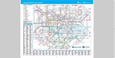
Click on the above snapshot to see the original document and have fun with it!
Click on the above snapshot to see the original document and have fun with it!


Comments